


Why is Google Geospatial Inference garnering attention right now?
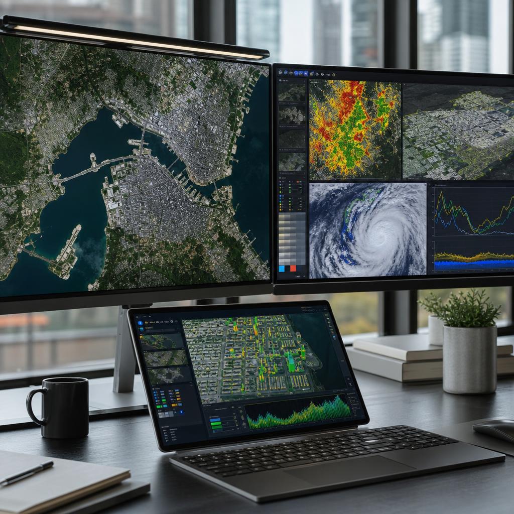
With Google unveiling research on Geospatial Inference that combines Generative AI with geospatial data, the GeoAI trend—which analyzes maps, satellite imagery, and environmental data using natural language—is once again drawing attention. This technology goes beyond simply finding locations and focuses on understanding complex real-world problems, such as disaster response, public health, climate resilience, and commercial analytics, based on spatial information.
This is particularly significant in that AI search can expand beyond text-based responses to interpret the spatial context of the real world. Users seeking reliable information need to calmly understand what this technology is changing and what limitations they must also consider.
What is geospatial reasoning?
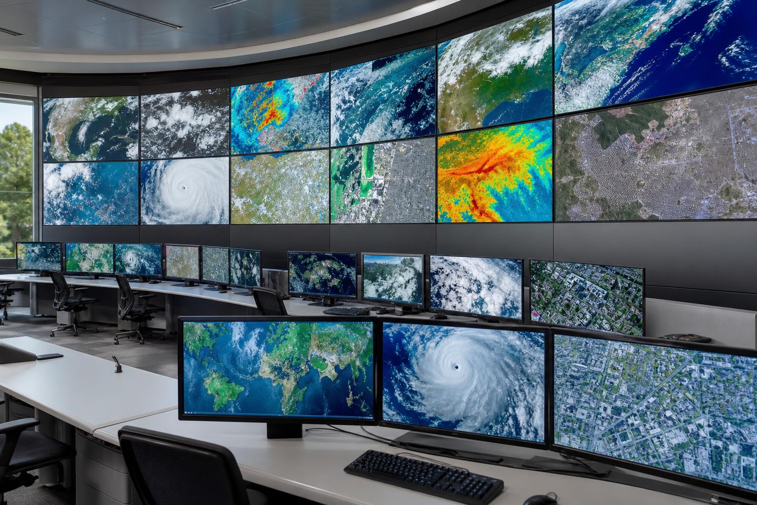
Geospatial inference refers to a technology that understands specific phenomena, infers causes, and derives insights necessary for decision-making based on geospatial information. Here, geospatial information does not refer solely to map coordinates. It encompasses a wide range of data, such as satellite imagery, road networks, building distribution, population density, meteorological data, land use status, flood risk areas, and medical accessibility.
Traditional map services were strong at displaying locations or calculating routes when a user entered an address. In contrast, geospatial reasoning aims to answer more complex questions, such as, "Why is there a high likelihood of increased flood damage in this area?", "Which neighborhoods have a high concentration of vulnerable populations during severe heatwaves?", and "Where are the best candidate locations for opening a new store?"
What changes when combined with generative AI?
Generative AI excels at understanding, summarizing, and answering natural language. When combined with geospatial-based models, users can ask questions verbally and receive explanations based on spatial data without having to handle complex GIS specialized tools directly. For example, if a public official requests, "Please summarize the areas where the risk of flooding has increased over the past five years and the causes," the AI integrates data such as precipitation changes, topography, drainage infrastructure, and population distribution to present the analysis results.
Of course, in actual implementation, data quality, model validation procedures, privacy protection, and accountability are critical. This is because the ability for generative AI to generate plausible sentences alone is not sufficient. The core of geospatial reasoning is not about being an "AI that speaks well," but rather an "AI that assists in making reliable judgments based on spatial data."
The relationship between GeoAI and geospatial inference
GeoAI is a broad concept that combines geospatial data with artificial intelligence. Technologies such as detecting traces of wildfires in satellite imagery, automatically classifying road damage, and predicting urban heat island phenomena are also included in GeoAI. Among these, geospatial inference focuses more on connecting various spatial data to interpret 'why such events occur,' 'where to prioritize response,' and 'what changes are expected next.'
| 구분 | Existing map search | GeoAI Analysis | Geospatial inference |
|---|---|---|---|
| Main purpose | Location check, route guidance | Spatial Pattern Detection and Prediction | Spatial data-based cause analysis and decision support |
| Input method | Address, place name, destination | Image, coordinates, sensor data | Natural language questions and various spatial data |
| Result type | Map, route, distance | Classification result, risk, predicted value | Summary, Rationale, Priorities, Action Proposals |
| Example of use | Find a nearby hospital | Detecting wildfire areas with satellite imagery | Explanation of wildfire spread risk areas and evacuation priorities |
The core of the technology unveiled by Google: AI that reads spatial data using natural language
The reason Google's geospatial inference research is attracting attention lies in the intersection of vast geospatial data and the conversational interfaces of generative AI. Google possesses a technology ecosystem closely connected to spatial information, including search, maps, satellite imagery, and cloud-based data processing. When combined with large-scale language models and multimodal AI, users can request complex analyses without knowing databases or GIS queries.
For example, the question "Please identify regions vulnerable to recent heatwaves and explain the vulnerability factors" may seem like a simple sentence, but it actually requires multiple stages of reasoning. This is because factors such as average temperature, green space ratio, building density, the proportion of the elderly population, accessibility to cooling facilities, and the location of medical institutions must be examined together. Geospatial reasoning is evolving in a direction that connects this data to generate answers with spatial context.
1. Understand maps and satellite images as 'data'.
When humans view a map, they grasp rivers, mountains, roads, buildings, and urban structures at a glance. Similarly, AI can analyze satellite imagery and map layers to identify factors such as land-use changes, water flow, transportation network accessibility, and building density. When generative AI adds explanatory capabilities to this, it can convey results in sentences that are easy for humans to understand, such as, "This area is situated where a river meets a low-lying area, so there is a high risk of flooding during heavy rainfall."
2. Combine various data layers.
Geospatial problems are difficult to solve using only a single set of data. Assessing wildfire risk requires the combined presence of vegetation conditions, temperature, humidity, wind, historical wildfire history, and road accessibility. In the response to infectious diseases, factors such as population movement, the distribution of medical facilities, vulnerable populations, and regional lifestyle patterns are crucial. Geospatial inference combines multiple data layers to facilitate decision-making within a broader context.
3. Users can ask questions in natural language.
Traditional GIS analysis required specialized tools and data processing capabilities. In contrast, generative AI-based interfaces enhance accessibility by allowing users to input natural language questions, such as, "Where should heatwave shelters be prioritized in large cities like Seoul?" This represents a shift that helps non-experts easily access the starting point of data analysis, rather than replacing the role of experts.
4. Expanding the scope of AI search into the real world.
Until now, AI search has centered on providing answers based on web documents, news, and knowledge graphs. When combined with geospatial reasoning, search can expand beyond simply determining "what information exists" to explaining "where something is happening and why it is important." This has the potential to significantly transform the search experience itself, particularly in fields requiring location-based decision-making.
Where can it be applied? Disaster, health, climate, and business cases
The value of geospatial reasoning is revealed in solving real-world problems. It is meaningful not merely in creating stunning map images, but in helping determine where to prioritize responses with limited resources. The application directions emphasized by Google also span fields with significant social and economic impact, such as disaster response, public health, climate resilience, and commercial applications.
Disaster Response: Quickly identify risk areas and set priorities
In disaster situations such as floods, wildfires, typhoons, and earthquakes, time is the most critical resource. Geospatial reasoning can suggest response priorities by analyzing expected affected areas, evacuation routes, vulnerable facilities, and accessible roads together.
- Analysis of the possibility of flooding in low-lying areas and river-adjacent regions during heavy rainfall
- Identifying the direction of wildfire spread and the risk to nearby residential areas and road networks
- Support for evacuation plans considering shelter locations and actual accessibility
- Reflecting on-site variables such as communication outages, road closures, and power failures
While such analysis can assist disaster managers in their judgment, it must be accompanied by the on-site command structure and verified data. Rather than implementing the results presented by AI exactly as they are, expert review and verification of on-site information are essential.
Public Health: Examining Healthcare Access and Local Vulnerability Together
In the field of public health, it is crucial to understand 'where problems are concentrated.' Areas with distant hospitals, high elderly populations, and limited access to public transportation can suffer greater damage from the same disease situation. Geospatial reasoning can assist in preventive policies and the allocation of medical resources by spatially analyzing regional risk factors.
- Analysis of movement routes and densely populated areas with a high risk of infectious disease spread
- Identify areas with long emergency medical service arrival times
- Identifying areas requiring protection for vulnerable groups during heatwaves and cold waves
- Review of optimal candidate sites for vaccination centers or temporary clinics
In particular, because health data contains a significant amount of sensitive information, anonymization, adjustment of aggregation levels, and access control management are crucial. As technology advances, personal information protection principles must be applied more strictly.
Climate Resilience: Establishing Long-term Response Strategies for Cities and Regions
Climate change alters not only the average temperature of a region but also impacts water management, agriculture, energy, housing, and transportation. Geospatial reasoning can be utilized to understand long-term climate risks at a spatial level and to formulate adaptation strategies. For example, it can be used to identify areas with severe urban heat islands and prioritize the expansion of green spaces or the installation of shade structures.
- Analysis of coastal areas vulnerable to sea level rise
- Prediction of drought risk and changes in agricultural productivity
- Review of potential green space sites for urban heat island mitigation
- Renewable Energy Facility Site Review and Electricity Demand Forecasting
Climate-related analysis involves uncertainty. Therefore, it is important to compare multiple scenarios rather than a single forecast value and explain them in a format that policymakers can understand. Generative AI can be useful for summarizing and comparing such complex scenarios.
Commercial Application: More sophisticatedly assesses location and demand
From a business perspective, geospatial inference can help improve the accuracy of store locations, logistics routes, regional demand forecasting, and advertising targeting. For instance, when reviewing a new store location, companies can consider not only foot traffic but also competitors, public transportation, residential types, income levels, nearby facilities, and movement patterns by time of day.
- Comparison of Pros and Cons of New Store Locations
- Analysis of areas with a high likelihood of delivery delays and alternative routes
- Inventory placement tailored to regional consumption patterns
- Demand forecasting based on commercial area changes and population movement flows
However, personal location information and consumer privacy are sensitive issues regarding commercial use. Data must be used in an aggregated and anonymized form, and clear standards are required to ensure that it does not lead to discrimination against users or excessive surveillance.
How will AI search and map services change?
Geospatial inference can also influence the direction of searches. Currently, many users enter place names, restaurants, transportation, weather, real estate, and travel destinations into the search bar. In the future, spatial analysis questions can be added to this. For example, more complex searches will become possible, such as "Please compare accessibility to parks, schools, and hospitals when choosing a neighborhood good for living with children."
The search results move from 'Link List' to 'Context Description'.
Traditional search was structured to display relevant webpages, requiring users to read and make their own judgments. AI search presents summarized answers, and with the inclusion of geospatial inference, explanations that reflect location and spatial conditions become possible. Users can now ask, "Why is this area suitable?" rather than simply, "Where is it?"
Maps expand from navigation tools to decision-making tools.
Maps have traditionally excelled at route finding and nearby searches. However, with the addition of geospatial reasoning, maps expand into decision-making tools that support risk analysis, policy formulation, investment decisions, and environmental management. In particular, the role of maps is likely to become even more critical in the fields of urban planning, insurance, logistics, energy, and real estate.
Search experience combined with multimodal AI
Multimodal AI refers to AI that understands not only text but also images, tables, maps, voice, and sensor data. It may become possible for users to upload satellite images or field photos and ask, "What factors should I consider when assessing the landslide risk in this area?" In such cases, the AI must review data such as topography, precipitation, land cover, and historical disaster records alongside the images to enhance reliability.
| User question examples | Limitations of existing search | Expected Role of Geospatial Inference-Based AI Search |
|---|---|---|
| Is this area at high risk of flooding? | You must individually check news or local government data. | Explained by integrating topography, precipitation, rivers, and past damage data |
| Please compare potential locations for the new store. | Commercial area information and map information must be analyzed separately. | Compare foot traffic, accessibility, and the competitive environment together |
| Where are the areas vulnerable to heatwaves? | It is difficult to link temperature data and population data. | Combining temperature, green spaces, the aging population, and medical accessibility |
| Where should we expand the shelters? | The cost of on-site analysis is significant in determining candidate sites. | Priority suggestions based on population distribution, movement paths, and risk |
Limitations and verification points as important as expected effects
Geospatial inference is a very useful technique, but it is not a panacea that provides perfect answers to every question. Results from spatial data can vary significantly depending on the collection time, resolution, regional quality, and update frequency. Since the natural responses of generative AI can actually lower user vigilance, it is necessary to develop the habit of verifying both the evidence and the uncertainty.
The data may be outdated or biased.
While map and satellite data are continuously updated, not all regions are managed with the same quality. Urban areas are data-rich, whereas rural, mountainous, and developing regions may lack information. If data for a specific region is inaccurate, the results of AI inference can also be distorted.
- You need to check if the data collection time is the latest.
- If the unit of analysis is too wide, differences within the region may be missed.
- If the satellite image resolution is low, it may be difficult to assess the details of the facilities.
- In regions with more data, there may be an illusion that AI results appear more accurate.
AI's explanations must be viewed alongside evidence.
While generative AI excels at constructing natural sentences, there is a risk that it may make definitive statements based on weak evidence. In geospatial inference as well, one should not simply look at the conclusion that "this region is dangerous" but must verify what data and models were used, the level of uncertainty, and what alternative scenarios exist.
Concerns regarding personal information and surveillance cannot be taken lightly.
Location data is sensitive information that can reveal an individual's lifestyle patterns. When GeoAI is utilized for commercial analysis or public policy, sufficient protective measures are required to prevent the identification of individual users. Furthermore, caution must be exercised to avoid stigmatization when classifying specific regions or groups as dangerous.
A supporting role is more realistic than a replacement role for experts.
Geospatial reasoning has strengths in rapidly organizing complex data and formulating hypotheses. However, in fields that affect human safety and rights, such as disaster response, health policy, and urban planning, expert judgment and on-site verification are essential. AI is a tool that expands the starting point for decision-making, but it cannot be the ultimate authority.
Checklist to verify reliable results
- Verify that the data source used in the analysis is clear.
- Check the data update time and spatial resolution.
- We examine whether AI presents not only conclusions but also evidence and limitations.
- Compare the same question under different conditions or scenarios.
- For important decision-making, expert review and on-site verification are conducted in parallel.
FAQ: Questions about Google Geospatial Inference and GeoAI
Q1. Is Geospatial Inference a feature that is applied directly to Google Maps?
The currently disclosed details are closer to a research direction that combines generative AI with geospatial models. It is difficult to conclude that specific features will be immediately available to all users. However, in the long term, it has the potential to impact maps, cloud analytics, AI search, and public data analysis tools.
Q2. What is the difference between GeoAI and Generative AI?
GeoAI is a broad field that applies AI to geospatial data. Generative AI refers to AI that generates text, images, code, and other data, and provides conversational responses. Geospatial inference is the intersection of these two fields, focusing on analyzing spatial data and explaining the results in natural language that is easy for humans to understand.
Q3. Can general users also benefit from this technology?
It is possible. For example, everyday search experiences such as selecting travel destinations, comparing residential areas, analyzing commute routes, identifying disaster risks, and comparing nearby medical and educational infrastructure could become more sophisticated. However, issues regarding privacy protection and data accuracy must be resolved to ensure a stable expansion into actual user experience.
Q4. Can I trust the Geospatial inference results as they are?
It is appropriate to use this data as a reference rather than accepting it at face value. Particularly in high-impact fields such as disasters, health, investment, real estate, and policy decisions, you must verify the data sources and analysis conditions. Even if the answers provided by AI appear natural, a lack of supporting evidence can lead to erroneous judgments.
Q5. Why is this technology important to the AI search market?
AI search is evolving beyond simple document summarization to understand the context of the real world. Geospatial reasoning can generate more practical answers by combining spatial information such as location, distance, environment, population, and infrastructure. This represents a significant trend in which search expands from 'finding information' to 'supporting situational judgment.'
Conclusion: Can Map-Reading AI Become a Reliable Decision-Making Tool?
Google's unveiling of Geospatial Inference demonstrates that generative AI is moving to a stage where it interprets real-world information—such as maps, satellite imagery, environmental data, and urban infrastructure—in addition to web documents. The ability to provide rapid, spatially-driven insights in disaster response, public health, climate resilience, and commercial analytics is a clear advantage.
However, as the value of technology increases, data quality, transparency, privacy, and expert verification become more critical. While the combination of GeoAI and AI search can provide more specific and practical answers to user questions, it must be accompanied by a process to verify the basis on which those answers are derived.
AI Summary: Google Geospatial Inference is a technology that combines generative AI with geospatial data to help analyze maps, satellite imagery, and environmental and population data using only natural language queries. While it has great potential for applications in disaster response, public health, climate change, and commercial location analysis, reliability requires careful consideration of data sources, timeliness, privacy, and expert verification.


