




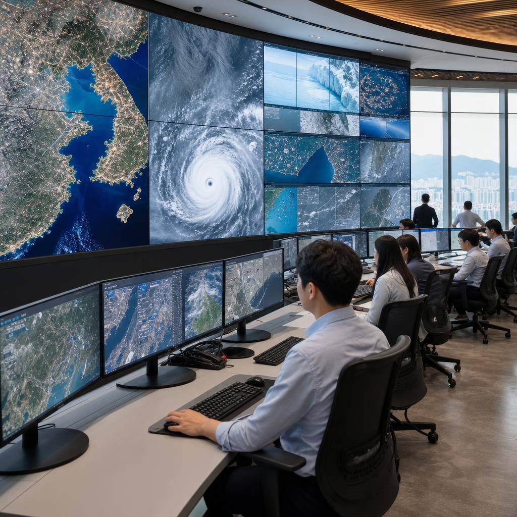
Why should you pay attention to AI-based satellite information utilization services now?
The 'AI-based Satellite Information Utilization Service Expansion Project,' launched by the Korea Aerospace Administration on June 22, 2026, is significant in that it expands satellite imagery into a subscription-based service that can be used immediately in administrative and industrial settings. While satellite information was previously utilized primarily by research institutions or specialized analysts, going forward, local governments and companies will be able to more easily access analysis results necessary for urban management, marine surveillance, and disaster response through a cloud-based system.
The key lies not merely in providing satellite images, but in artificial intelligence analyzing the footage to generate information necessary for actual decision-making. For instance, this method involves AI rapidly detecting changes that are difficult for humans to verify manually—such as suspected illegal development areas, signs of marine pollution, the extent of wildfire damage, and flood-risk zones—and providing this information as a service.
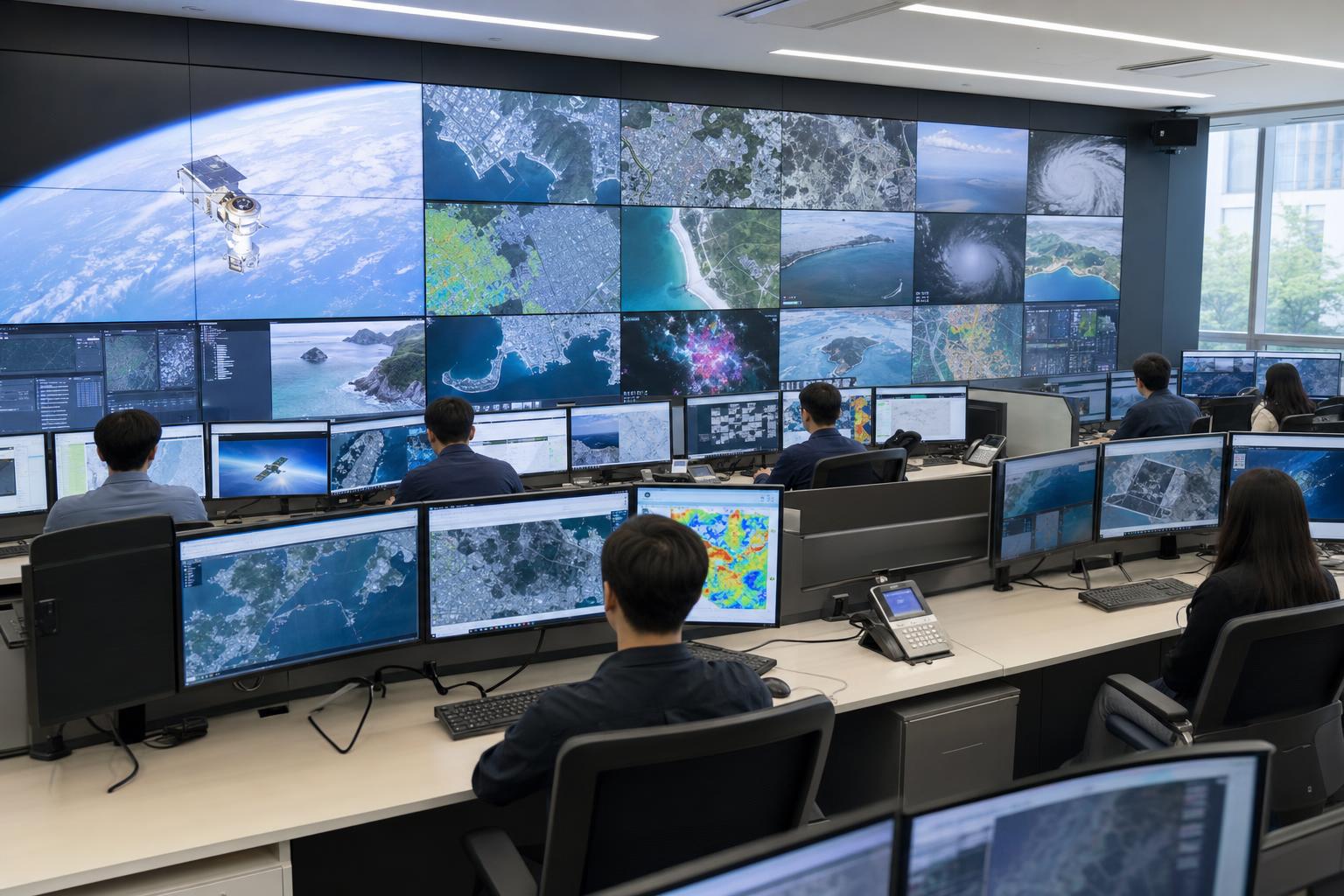
Core structure of the Aerospace Agency's new projects
The Aerospace Agency's new project focuses on expanding 'AI satellite convergence' into administrative services. Satellites can repeatedly observe wide areas, and AI can identify meaningful patterns within vast amounts of imagery. By combining this with a cloud-based service architecture, agencies can access analysis results without having to possess separate, expensive equipment or specialized personnel.
The direction the business is pursuing
AI-based satellite information utilization services can be understood in three main ways.
- Changes in supply methods: We are transitioning from individual project-centered analysis to a subscription-based satellite analysis service that allows for the continuous use of necessary services.
- Expansion of users: We are expanding the scope of satellite information utilization to include not only central government ministries but also local governments, public institutions, and private companies.
- Problem-solving centered: We provide not just simple video content, but solutions tailored to local administrative issues such as urban, marine, and disaster problems.
Why is the subscription model important?
Satellite information analysis involves multiple stages, including data collection, preprocessing, AI model application, and result verification. Implementing this system individually for each organization is costly and time-consuming, and it is difficult to maintain consistent analysis quality. A subscription model reduces these burdens and allows users to access necessary features as a service.
For example, if a local government needs to regularly monitor unauthorized land use changes in development restricted areas, it can receive satellite-based change detection results on a monthly or quarterly basis. Agencies managing coastal areas can utilize services to monitor vessel movements, changes in aquaculture farms, coastline erosion, and signs of marine pollution. Disaster management departments can use it to quickly assess the extent of damage following heavy rainfall or wildfires.
| 구분 | Utilizing existing satellite information | Subscription-based AI satellite analysis service |
|---|---|---|
| How to use | Request individual analysis whenever necessary | Regular and ongoing service usage |
| technical burden | Need for specialized personnel and analysis infrastructure | Cloud-based accessibility improvement |
| Utilization results | Video or report-centric | Provision of detection results, change analysis, and administrative decision-making data |
| Application field | Research and policy analysis focus | Field-oriented areas such as urban management, marine surveillance, and disaster response |
Changing Application Methods in Urban, Marine, and Disaster Sectors
AI-based satellite information is gaining attention because it helps solve repetitive and complex problems in actual administrative settings. In particular, urban management, maritime surveillance, and disaster response are fields that require rapidly monitoring vast areas, and missing the timing for change can lead to significant social costs.
1. Urban Management: Utilizing digital twins as basic data for the national territory
In the urban sector, satellite imagery is useful for identifying changes in land use, building growth, green space reduction, and transportation infrastructure. When combined with AI analysis, this enables the automatic detection of changes in specific areas and allows administrators to identify priority points for inspection.
In particular, there is significant potential for integration with the 'Digital Twin National Territory.' A digital twin is a technology that replicates real-world spaces and facilities into a digital space for use in simulations and predictions. Satellite data has a strong advantage in periodically updating the current state of a vast national territory, making it a key data source that can enhance the reliability of the Digital Twin National Territory.
- Monitoring urban expansion and land use changes
- Detection of suspected illegal damage to development restricted zones, mountainous areas, and farmland
- Urban Environment Management through Analysis of Green Spaces and Urban Heat Island Phenomenon
- Verify changes in infrastructure such as roads, ports, and industrial complexes
- Support for Digital Twin National Land Data Updates and Policy Simulations
2. Ocean Surveillance: Monitoring the open sea more frequently and systematically
It is difficult to manage all areas of the marine sector solely through on-site inspections. The ocean is vast and changes rapidly, and observations can be limited during inclement weather or at night. Satellite information can complement these limitations and be utilized to monitor coastlines, vessel activity, marine pollution, and changes in aquaculture farms over a wide area.
AI satellite fusion technology is evolving to enhance analysis accuracy by combining various satellite data. For example, optical satellites provide images similar to what the naked eye sees, while radar satellites can observe even in cloudy or nighttime conditions. Utilizing both types of information together allows for more stable monitoring of changes in specific sea areas.
- Monitoring of coastal erosion and landfill changes
- Identification of suspected illegal fishing activities and vessel-dense areas
- Detecting signs of marine pollution, such as oil spills
- Changes in Aquaculture Farm Area and Management of Marine Facilities
- Confirmation of damage to port and coastal facilities following the typhoon
3. Disaster Response: Information-based system for rapidly assessing the scale of damage
In disaster situations, "how quickly accurate information is secured" is crucial. When disasters such as wildfires, floods, landslides, typhoons, and earthquakes occur, access to the site is often difficult, which can delay the assessment of the initial extent of damage. In such cases, utilizing satellite imagery and AI analysis allows for the rapid estimation of potential damage zones across wide areas.
Of course, satellite information alone cannot replace all disaster assessments. It is more effective when utilized in conjunction with on-site investigations, drone footage, meteorological data, and local government reports. However, satellite-based analysis is highly valuable as supplementary data for initial disaster response decisions, setting recovery priorities, and damage assessment.
- Estimated flooded areas after heavy rainfall
- Analysis of wildfire damage area and spread direction
- Detecting potential landslide areas and traces of damage
- Damage to coastal facilities and farmland confirmed after typhoon
- Damage compensation and management support through before-and-after recovery comparison
How does AI satellite fusion technology work?
While AI-based satellite information services may outwardly appear as analysis results displayed on a map, they internally involve the combination of various technological stages. Since satellite imagery is difficult to use in its raw form, correction and processing are required, and AI models must be trained to suit specific purposes.
Basic flow of the analysis process
- Satellite data collection: We acquire images suitable for the purpose, such as optical satellites and radar satellites.
- Preprocessing: Corrects clouds, shadows, terrain distortion, differences in shooting angle, etc.
- AI Analysis: Detects target objects such as buildings, roads, ships, forest damage, and traces of flooding.
- Change Detection: Compares past and current footage to identify newly occurring changes.
- Verification and Supplementation: It increases reliability by comparing with field data, administrative data, and other sensor data.
- Service Provision: It provides to users in the form of dashboards, maps, reports, APIs, etc.
What AI Does Well and What Humans Must Do
AI is strong at rapidly identifying recurring patterns in large volumes of video. For example, AI can efficiently perform tasks such as marking potential new buildings over wide areas or calculating changes in water levels before and after floods. On the other hand, final administrative decisions, legal actions, on-site verification, and resident responses still require human expertise and responsibility.
| 구분 | Areas where AI is strong | Areas requiring human judgment |
|---|---|---|
| Urban Management | Automatic detection of building and land change candidates | Determination of illegality, comparison of licensing data |
| Marine surveillance | Detection of vessel density, coastline changes, and signs of pollution | Assessment of enforcement necessity, on-site investigation plan |
| Disaster Response | Estimation of damage scope, before-and-after comparative analysis | Determination of rescue and recovery priorities, resident support |
| Policy formulation | Analysis of long-term change trends and spatial patterns | Budget allocation, system design, and stakeholder coordination |
Advantages of cloud-based services
One of the key keywords in this project is "cloud." Satellite imagery is large in volume and requires complex processing. Processing this on private servers would entail a significant cost burden for local governments or companies. Cloud-based services offer high accessibility because they process data centrally, allowing users to view results via web-based interfaces or APIs.
- You can reduce initial infrastructure setup costs.
- It is easy to incorporate AI model updates and feature improvements into the service.
- Multiple institutions can utilize analysis results based on the same standards.
- You can flexibly select services based on usage and required features.
- You can reliably secure high-capacity satellite data processing speeds.
New Opportunities Opening Up for Businesses and Local Governments
The AI-based satellite information dissemination project provides opportunities not only for the efficiency of public administration but also for the private industrial ecosystem. This is because companies that produce satellite data itself, develop AI analysis models, operate cloud platforms, and link geographic information systems with administrative systems can grow together.
Effects that local governments can expect
Local governments face a significant burden in managing vast administrative districts with limited personnel. By utilizing satellite-based analysis services, they can identify areas with a high potential for change first, without having to conduct on-site inspections of every region with the same frequency. This not only enhances administrative efficiency but also helps improve the speed of response to citizen complaints.
- Budget Efficiency: You can reduce the recurring costs associated with on-site surveys and outsourced analysis.
- Proactive Management: You can detect signs of change before the problem escalates.
- Data-driven decision-making: You can utilize not only the person in charge's experience but also objective spatial data.
- Improvement of complaint response: You can enhance explanatory power by examining the history of changes in a specific region as time-series data.
Markets that companies should pay attention to
A new service market is opening up for private companies. In particular, subscription-based satellite analysis services are commercially viable as they can build continuous customer relationships rather than one-off services. Demand for satellite information analysis may also arise in various fields, including urban planning, real estate development, insurance, logistics, energy, and environmental consulting.
- Linking Smart City Management Platform with Satellite Analysis Functions
- Disaster damage estimation and risk assessment by insurance companies
- Monitoring development trends in the construction and real estate sectors
- Analysis of operational status in the shipping and port sectors
- Tracking changes in forests and green spaces in the carbon neutrality and environment sectors
Things to check before introducing the service
However, not all satellite information services solve all problems. Adopting organizations must carefully verify the purpose, analysis cycle, spatial resolution, accuracy, data security, and the possibility of integration with existing systems. In particular, when utilizing AI for administrative decision-making, it is crucial to clearly establish the limitations of AI analysis results and verification procedures.
| Confirmation items | Review details |
|---|---|
| Service purpose | Verify whether the problem to be solved, such as urban management, disaster response, and marine surveillance, is clear. |
| Analysis cycle | Review required update frequency, such as daily, weekly, or monthly. |
| Spatial resolution | Determine the required level based on whether it is building-level detection or area-level change analysis. |
| Accuracy and verification | Establishment of on-site verification procedures regarding the possibility of false positives and missing detections in AI detection results |
| System linkage | Verify whether it is possible to connect with existing GIS, administrative networks, and disaster management systems. |
| Security and Authority | Review of sensitive information access rights, data storage locations, and log management policies |
Challenges to examine along with expected effects
While AI-based satellite information can be an important means of administrative innovation, technical and institutional challenges must also be addressed for its successful widespread adoption. In particular, satellite imagery resolution, weather influences, AI model accuracy, data standardization, and issues regarding personal information and security are factors that determine service quality.
Benefit
- Enhanced Wide-Area Monitoring: You can periodically inspect large areas that are difficult for humans to check directly.
- Improving administrative response speed: You can quickly determine on-site inspection priorities based on change detection results.
- Strengthening the basis for policy: You can enhance the objectivity of policy formulation by utilizing spatial data and time series analysis.
- Expansion of industrial ecosystem: The market involving satellite, AI, cloud, and GIS companies can grow.
- Digital Twin National Territory Advancement: You can reflect changes in the real space in the digital space more quickly.
Limitations to be aware of
Satellite imagery is very useful, but it is not perfect data. Optical satellites have difficulty viewing the Earth's surface when there is heavy cloud cover, and it is hard to accurately distinguish small structures at low resolutions. Radar satellites are less affected by weather, but their interpretation is relatively complex. Furthermore, the performance of AI models can vary depending on the quality of the training data and regional characteristics.
- Analysis limitations due to shooting conditions such as clouds, shadows, and snow cover
- Possibility of detection errors in small-scale facilities or complex urban areas
- AI model performance variations due to regional differences in topography and architectural styles
- Additional verification needed for use in administrative dispositions
- Data security, access rights, and sensitive area information management issues
Conditions for becoming a reliable service
To become a trustworthy AI satellite fusion service, merely claiming high accuracy is insufficient. It must also provide details on the data analyzed, the margin of error, how the results were verified, and how users should interpret them. Explainability and accountability are particularly important for public services.
- Analysis criteria and model update history must be managed transparently.
- We must continuously accumulate false positives and missed detections to improve the model.
- We must establish a verification system by combining it with field survey data.
- Visualization and reporting functions that are easy for administrative staff to understand are needed.
- We must align data standards across institutions to reduce redundant investment and confusion.
Frequently Asked Questions (FAQ)
Q1. How does an AI-based satellite information utilization service differ from a general satellite imagery service?
While general satellite imagery services primarily focus on displaying images, AI-based satellite information utilization services analyze changes within the images to provide results that can be immediately referenced in administrative or industrial settings. For instance, rather than just a simple map screen, it provides information necessary for decision-making, such as "areas where new changes have been detected," "zones at risk of flooding," and "points with significant coastline changes."
Q2. Why is a subscription-based satellite analysis service necessary?
Satellite information analysis requires large-scale data processing and specialized technical expertise. The subscription model enables individual organizations to continuously utilize necessary functions without having to build analysis systems every time. It is particularly efficient in fields such as urban management, marine surveillance, and disaster response, where regular monitoring is required.
Q3. How is the digital twin related to the national territory?
Digital Twin National Territory is a concept that reflects the state of the real-world territory in a digital space for analysis and prediction. Satellite information is useful for updating digital twin data because it allows for the periodic observation of changes over large areas. When combined with AI analysis, information such as urban expansion, changes in green spaces, and disaster damage can be reflected more quickly.
Q4. Can AI analysis results be used directly as the basis for administrative dispositions?
While AI analysis results can serve as powerful reference material, additional verification is required for administrative dispositions or legal judgments. Satellite imagery has limitations due to shooting conditions and resolution, and AI is also subject to the possibility of false positives or missed detections. Therefore, it is advisable to utilize AI in conjunction with on-site verification, comparison with licensing data, and review by relevant personnel.
Q5. Can private companies also gain opportunities from this business trend?
The potential is high. Markets can be formed in various fields, including satellite data processing, AI model development, cloud operations, GIS integration, and industry-specific analysis solutions. In particular, the demand for utilizing satellite information analysis is expected to gradually increase in the urban, environment, insurance, logistics, marine, and energy sectors.
Conclusion: AI satellite convergence becomes new infrastructure for administration and industry.
The National Aeronautics and Space Administration's project to expand AI-based satellite information utilization services can be viewed as a turning point that broadens satellite information from research and specialized domains into field administration and industrial services. In fields requiring rapid spatial awareness, such as urban management, marine surveillance, and disaster response, subscription-based satellite analysis services can simultaneously enhance efficiency and accessibility.
However, to ensure the reliability of the service, it is necessary to combine AI analysis results with field data rather than blindly trusting them, and to establish accuracy verification and security systems. If such a foundation is laid, it is highly likely to become a crucial infrastructure leading to the realization of a digital twin national territory, innovation in regional administration, and the growth of the private space and AI industries.
AI Summary: The core of the Aerospace Agency's new project is to support urban management, marine surveillance, and disaster response by providing satellite imagery and AI analysis as a cloud-based subscription service. While AI satellite convergence can contribute to updating digital twin national territory data and improving administrative efficiency, its practical application requires accuracy verification, on-site inspection, and security management.


